
Weather
Loading the regional forecast cache.
National Weather ServiceConditions, places, and stories from redwood country.
Loading the regional forecast cache.
National Weather ServiceLoading regional gauge observations.
U.S. Geological SurveyLoading the official road summary.
CaltransChecking the park notice cache. Missing data is never treated as an all-clear.
California State Parks Redwood parks & scenic roadsAccess, vehicle fit, and planning sources›
 Coastal access & viewpointsBeach cautions and official conditions›
 Rivers & weatherOfficial-source observations and forecasts›
 Maps & regional historyRecords, context, and a research path›
View the complete route guide →
Majestic forestsWalk among giants and discover ancient groves.
Rivers and waterwaysRead the gauges, then follow the official source.
Dramatic coastlinePlan viewpoints with surf and weather in mind.
Maps & regional historyRecords, context, and a research path›
View the complete route guide →
Majestic forestsWalk among giants and discover ancient groves.
Rivers and waterwaysRead the gauges, then follow the official source.
Dramatic coastlinePlan viewpoints with surf and weather in mind.
Photography credits and reuse terms are listed in Sources.
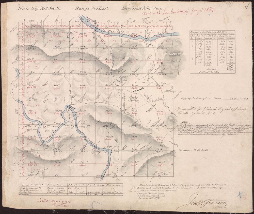
Long before modern travelers followed Highway 101, Indigenous routes, rivers, ridges, later wagon roads, railways, and survey lines connected the region. Explore historical maps and public records without confusing an old line on paper for a present access right.
Explore the Jay Smith Road reference library →Historical reference; not a current access map.Map prints, field notebooks, books, affiliate references, and text-logo goods are being prepared. No prices, inventory, or checkout are published until real production and merchant accounts are connected.
Continue with field guides and source updates from redwood country.
Different paths.
A deeper place.